Using independent check points to verify GNSS surveys
Design checks that test the survey result without reusing the same assumptions that produced it.
Decide what independence means
A check point is useful because it asks whether the delivered coordinates agree with evidence outside the production measurement. Independence is therefore a property of the procedure, not simply a point name. A point observed twice from the same incorrect base coordinate may repeat very closely while both results share the same offset. Describe which errors a proposed check can reveal before calling it independent.
Start by listing the important dependencies of the survey: reference coordinates, coordinate transformation, antenna heights, instrument setup and measurement method. A check established through a separate control connection can test more of this chain than an extra observation made immediately after the first. Neither is worthless. They answer different questions, and the field record should explain which question each check was designed to answer.
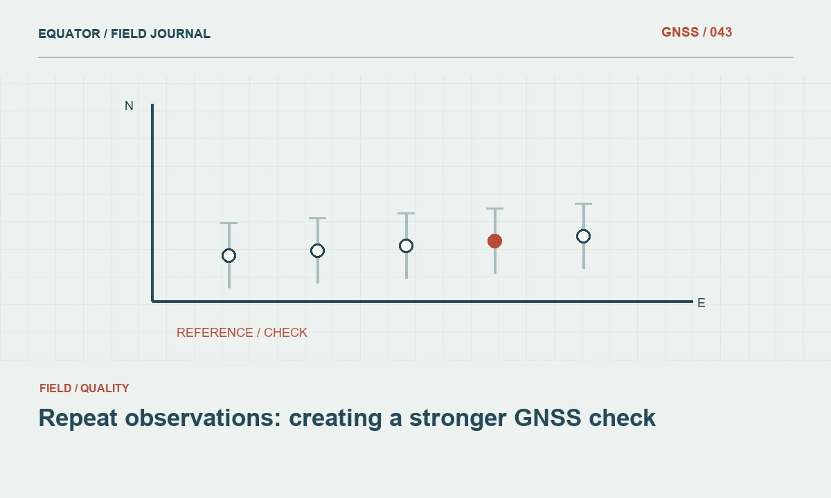
Continue learning Repeat observations: creating a stronger GNSS check
Select stable, unambiguous marks
Use locations that can be occupied consistently. A painted patch with no defined centre may introduce uncertainty larger than the receiver display suggests. A stable survey mark or a clearly described physical feature makes comparison more meaningful. Photograph the mark closely and from a wider viewpoint. Describe access, surface condition and any reason to suspect movement since its previous determination.
Distribute checks across the project rather than placing them all beside the base. Include both ends of a corridor, different work zones and locations representing the main measurement environments. Height checks deserve attention where elevations drive design decisions. A check on one flat open corner may not expose a transformation problem affecting a distant hillside or a different vertical reference applied to another job file.
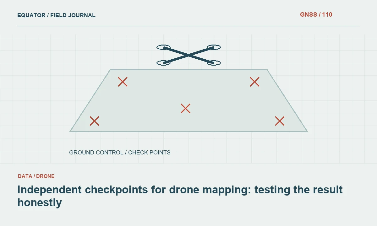
Continue learning Independent checkpoints for drone mapping: testing the result honestly
Protect checks from the adjustment
If a point is used to fit a local transformation, it cannot then provide a fully independent test of that same transformation. Reserve separate points for validation whenever the project allows. Label control points and check points distinctly in the controller and office files. This simple separation prevents a reassuring residual report from being mistaken for an external accuracy assessment.
Document the coordinate source for each reserved check. Include reference frame, epoch when relevant, height type, units and the method used to establish it. A well measured point in the wrong vertical datum is not a valid height check for the project. Before blaming the receiver for a discrepancy, confirm that both values represent the same physical point and the same coordinate definition.
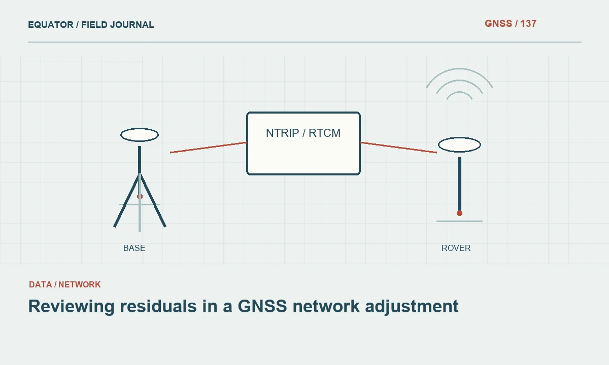
Continue learning Reviewing residuals in a GNSS network adjustment
Measure the check as a real observation
Occupy the check with the same care used for critical production points. Confirm the pole tip, antenna height, solution state and correction stream. Record the observation time and the relevant quality information rather than copying only the final coordinate. If the check is repeated, preserve each occupation separately so the review can distinguish repeatability from an average that hides a bad measurement.
Include a fresh setup or initialization where the purpose is to test more than short term stability. Returning later can also change satellite geometry and expose effects that consecutive epochs do not. The specific observation procedure should follow the project requirements and operating conditions. Avoid inventing a universal number of seconds or repetitions that supposedly guarantees acceptance for every application.
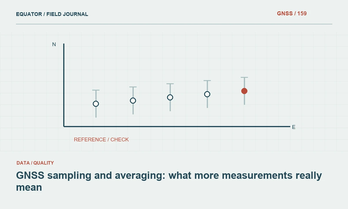
Continue learning GNSS sampling and averaging: what more measurements really mean
Compare components and patterns
Calculate differences in the project coordinate system with a documented sign convention. Review east, north and height components as well as the horizontal magnitude. A persistent height offset may suggest a different problem from random horizontal scatter. Several points shifting in a similar direction can indicate a common reference or transformation issue; one isolated failure may deserve a local inspection before the entire survey is rejected.
Keep the raw comparison table alongside any summary statistic. A single average can conceal a large discrepancy at one end of a project. If the coordinate source has its own uncertainty, acknowledge that the observed difference includes uncertainty in both the check and the new measurement. The purpose is an honest assessment of agreement, not a claim that the reference value is infinitely exact.
Continue learning Repeat observations: creating a stronger GNSS check
Respond to a failed check
Pause the affected work and preserve the current settings. Repeating the point without recording changes makes diagnosis harder. First verify the mark identity, units, antenna height, reference coordinate and height model. Then examine correction age, satellite environment and recent interruptions. Change one suspected cause at a time when practical so a successful recheck provides useful evidence about the failure.
Determine how much production work may be affected. A wrong base coordinate could influence an entire session, while a tilted pole at one occupation may affect only that point. Use time logs, crew notes and the last successful check to define a review interval. Do not discard the failed observation; mark its status and explain the corrective action so the final acceptance decision remains traceable.
Continue learning Independent checkpoints for drone mapping: testing the result honestly
Make checks part of the deliverable
Report the check design, coordinate sources, observations and acceptance criteria together. A reviewer should see what was tested and what remained outside the test. Include exceptions and the methods used to resolve them. If no suitable independent control was available, say so and describe the more limited repeatability tests that were performed instead of presenting them as equivalent evidence.
Useful checks influence field decisions while the crew can still revisit a site. Review results at planned milestones rather than waiting until the last day. That allows a mistake to be contained and corrected without reconstructing an entire campaign. Independent checks are most valuable when they connect the measurement procedure to the consequences of using the coordinates in design, mapping or asset management.
Continue learning Reviewing residuals in a GNSS network adjustment
A check that reveals a shared offset
Imagine a crew that measures a point twice and obtains close agreement, then finds that both results differ from independently established control. The repeat demonstrates short term consistency but cannot decide whether the shared difference comes from the base coordinate, a transformation or the control definition. The next action should be to compare additional suitable checks and inspect the reference chain, not to average the two rover observations and call the discrepancy resolved.
If several distributed checks show a similar offset, preserve their component differences and the active job settings. If only one check disagrees, inspect its identity, recovery description and coordinate source as well as the GNSS occupation. Both patterns deserve investigation, but they suggest different priorities. The point of the example is to design checks around the errors they can expose. A test that shares the same reference assumptions as production is useful for some purposes, yet should not be described as proving an independent connection that it never actually tested.
Keep the check coordinates in a controlled reference file and the new observations in a separate file. This prevents an accidental import from replacing the reference values with the rover results being tested. Confirm file roles before calculating differences, and preserve both inputs with the comparison so the check remains reproducible after the controller job changes.
Continue learning GNSS sampling and averaging: what more measurements really mean
Practical checklist
- Reserve validation points outside the transformation fit.
- Compare horizontal and vertical components with consistent definitions.
- Preserve failed checks and document the affected work interval.
Plan your GNSS setup
Compare the EQ10 and EQ20 receiver specifications, then discuss the configuration and support your project needs.
Compare GNSS receivers