Validating RTK ambiguity solutions in practical surveys
A fixed solution is an important status indicator. Confirm its reliability through observation context, checks and controlled reinitialization.
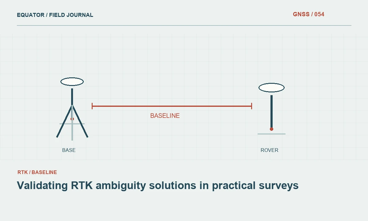
Understand the status message
Carrier phase positioning must resolve the unknown whole number of cycles between satellites and receivers. A receiver reports a fixed solution when its ambiguity process accepts a set of integers under its internal tests. That status is valuable, but it is not an external certificate that the point coordinate meets every project requirement. The reference coordinate, antenna setup and coordinate system still influence the final result.
An operator should therefore treat fixed as a necessary condition for a specified RTK workflow rather than the entire acceptance rule. The project may also require stable observations, suitable correction age and agreement with control. Record the actual solution status with each point. A later export containing only coordinates removes information that could help explain why one point differs from its neighbours.
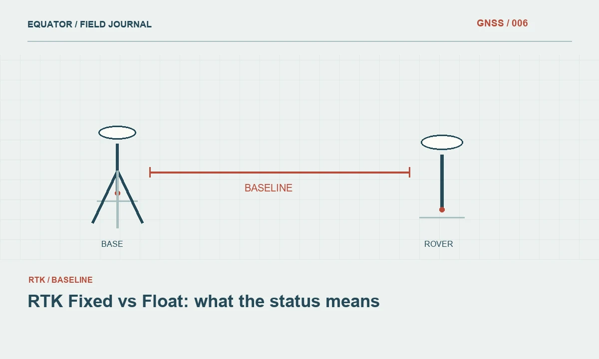
Continue learning RTK Fixed vs Float: what the status means
Separate ambiguity and reference errors
A correctly resolved baseline can still be added to an incorrect base coordinate. Likewise, a wrong antenna height can shift the resulting point without changing the ambiguity status. When a fixed point disagrees with control, inspect those common settings before assuming the ambiguity engine is responsible. The distinction matters because collecting more epochs will not repair a coordinate definition error.
Compare patterns across the session. A consistent displacement at several open check points suggests a different problem from one isolated occupation beside a wall. Review the base setup record, transformation and height model alongside the rover diagnostics. This combined view prevents a narrow focus on a single quality number from hiding a simpler and more consequential setup mistake.
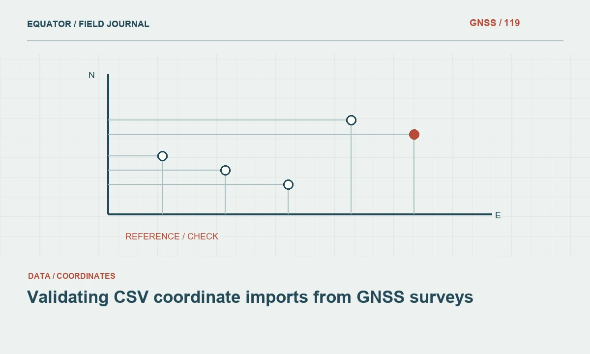
Continue learning Validating CSV coordinate imports from GNSS surveys
Recognize difficult observation environments
Trees, building edges and reflective surfaces can interrupt or distort the observations used for positioning. A receiver may maintain a fixed label through changing conditions, yet the quality of evidence at the point can still be weaker than in open sky. Inspect the physical environment and note nearby obstructions. A high satellite count alone does not describe whether those signals provide clean, well distributed information.
Watch the behaviour over time rather than reading one instant of the display. Repeated transitions between float and fixed, sudden position changes or inconsistent heights deserve investigation. Such symptoms do not identify a unique cause, but they tell the operator that routine collection should pause. Keep raw logs where the equipment and project allow so the office can review the sequence rather than one final screen capture.
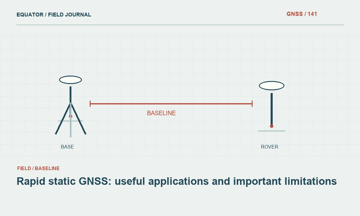
Continue learning Rapid static GNSS: useful applications and important limitations
Establish an open site reference test
Before entering difficult areas, occupy a suitable check point in clear conditions using the planned correction source. Confirm the reference settings and record the result. This provides a useful comparison when problems appear later. If the system cannot demonstrate agreement at an open check, moving directly into canopy makes diagnosis harder because more potential causes are introduced at the same time.
Repeat the open check after major interruptions or configuration changes. A successful reconnection is a communications event; the check evaluates the positioning result. Keep the two events distinct in the log. If the check fails, preserve the configuration and troubleshoot before resuming production. The exact acceptance limits belong to the project specification, not a universal number attached to the word fixed.
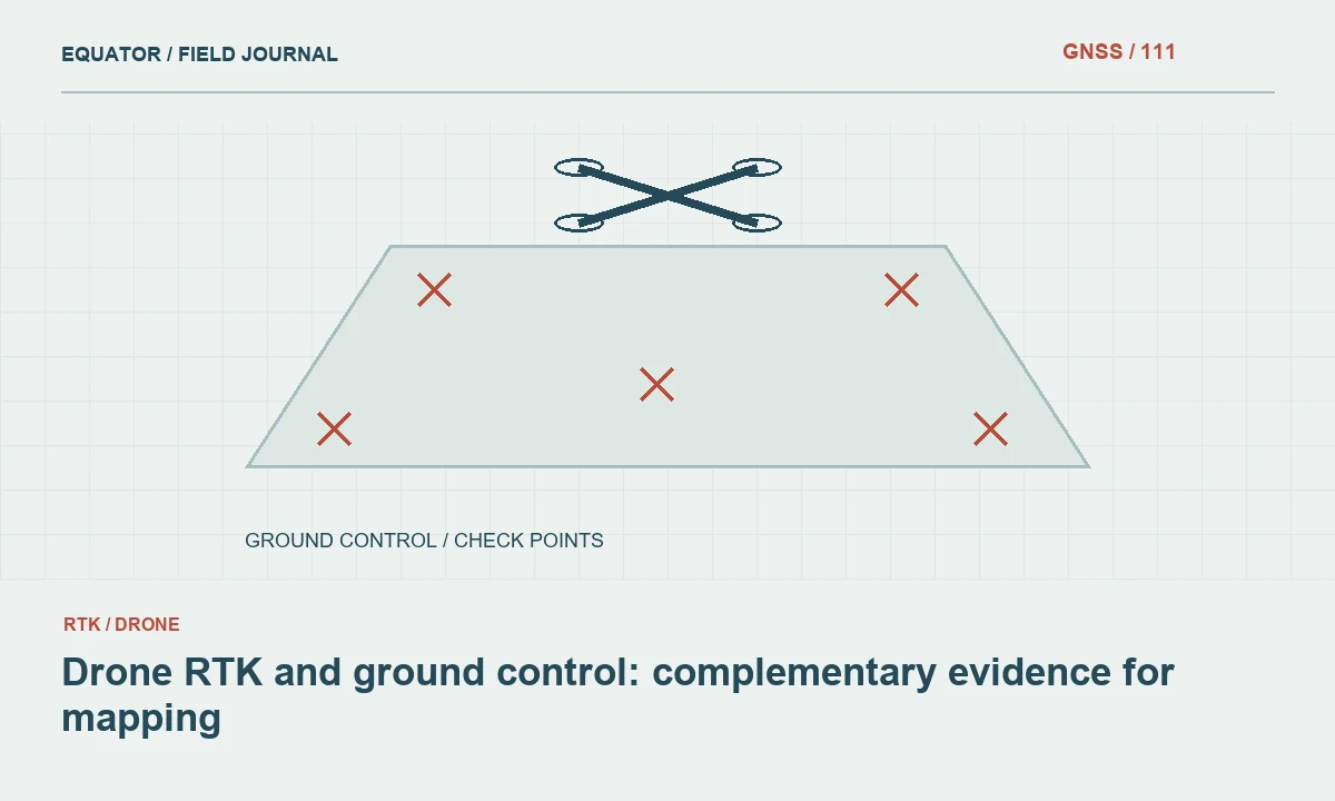
Continue learning Drone RTK and ground control: complementary evidence for mapping

Use fresh initialization deliberately
Reinitialization is useful when it creates a new test of a suspicious occupation. Follow the receiver instructions and allow the solution to stabilize in suitable conditions. Then repeat the point or a nearby check. Record the reset and the resulting coordinate difference. Without this record, repeated resets can become an untraceable ritual that produces an accepted value simply because the display eventually looks reassuring.
Do not repeatedly reset while standing in the same poor signal environment and assume the final fixed result must be correct. Improve the geometry of the setup, move away from reflective objects where possible or connect the point by another approved method. Reinitialization changes the estimator state; it does not remove a tree, correct a wrong reference coordinate or make an unstable pole physically vertical.
Continue learning RTK Fixed vs Float: what the status means
Interpret quality indicators together
Receivers may display estimated precision, residuals, ambiguity ratios or other proprietary indicators. Learn what the particular instrument reports and how the manufacturer intends those values to be used. Numbers from different products may not have identical definitions. Preserve the settings and software version when a project depends on an automated acceptance filter so a later review can reproduce the decision.
Internal estimates describe the model and observations available to the receiver. They may not include every external error affecting the delivered coordinate. Combine them with check point agreement, repeat occupations and sound physical setup. If the indicators conflict, investigate the conflict rather than selecting whichever number supports continued collection. A small displayed estimate beside a large independent discrepancy is evidence that something remains unresolved.
Continue learning Validating CSV coordinate imports from GNSS surveys
Document the acceptance decision
The field record should show why a critical point was accepted: solution state, relevant diagnostics, observation conditions and the checks performed. Where a point was rejected, retain its status and explain the replacement measurement. This makes the final dataset easier to audit and helps another crew avoid repeating the same unsuccessful approach at the same location.
Use ambiguous solution incidents as feedback for planning. If a particular environment repeatedly causes trouble, allocate a different method or more suitable control before the next campaign. Reliable ambiguity validation is a workflow involving instrument knowledge, environmental judgement and independent evidence. The fixed label remains important, but its practical value comes from the checks and decisions surrounding it.
Continue learning Rapid static GNSS: useful applications and important limitations
A fixed result beside a reflective wall
A hypothetical point beside a metal facade may repeatedly produce a fixed label while its coordinate varies more than the project allows. The operator should preserve the observations, note the surrounding surfaces and compare behaviour at an open check. If the open check is satisfactory, the local environment becomes a stronger line of investigation, although it is still not a complete diagnosis by itself. Repeating resets at the wall without another source of evidence does not establish reliability.
An approved alternative could involve establishing a nearby suitable point and connecting the difficult feature through another measurement method. The alternative must preserve the feature definition and have its own checks. Record why the original occupations were rejected and how the accepted coordinate was obtained. This keeps a realistic operational distinction between the receiver accepting an ambiguity set and the surveyor accepting a coordinate for a particular purpose. The latter decision includes physical context and independent evidence beyond the status label.
Train operators to distinguish a planned reset from an accidental loss of tracking in the event log. Both may lead to a new solution, but their context differs. A controlled test has a defined purpose and comparison, whereas an unrecorded interruption may leave the analyst uncertain which observations share a continuous estimator state.
Continue learning Drone RTK and ground control: complementary evidence for mapping
Practical checklist
- Confirm reference coordinates and antenna setup before blaming ambiguity resolution.
- Investigate unstable solution behaviour and conflicting quality indicators.
- Preserve reinitialization events and independent check results.
Plan your GNSS setup
Compare the EQ10 and EQ20 receiver specifications, then discuss the configuration and support your project needs.
Compare GNSS receivers