GNSS corridor surveys: controlling a long, changing work area
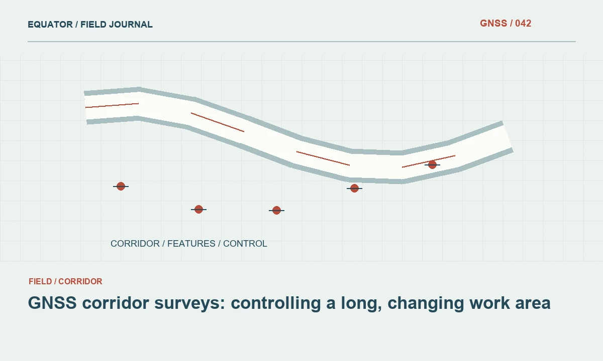
Road, utility and linear-infrastructure work can cross changing reception and reference conditions.
Read article174 practical articles on satellite positioning, RTK corrections, survey procedures and reliable geospatial data.
133–144 of 174 articles
Page 12 of 15Road, utility and linear-infrastructure work can cross changing reception and reference conditions.
Read articleAgricultural mapping benefits from consistent references across boundaries, imagery and field observations.
Read articleControl helps a model fit; independent checkpoints help evaluate the result.
Read articleA useful terrain dataset needs consistent positioning, feature descriptions and appropriate coverage.
Read articleReliable stakeout begins with the design reference and ends with a recorded check of the placed point.
Read articleA camera overlay can make point finding more intuitive, while the underlying survey still depends on positioning quality.
Read articleA laser-capable GNSS workflow combines receiver positioning with another measurement, so both parts need validation.
Read articleA tilt-capable receiver estimates the relationship between the antenna and pole tip; the setup still needs checking.
Read articleA distance on a projected coordinate grid is not always the same as a measured ground distance.
Read articleA precise coordinate may need both a frame realization and an epoch.
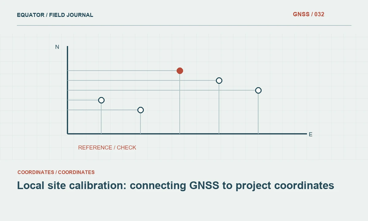
Read articleA local transformation should be built from trustworthy control and tested on independent points.
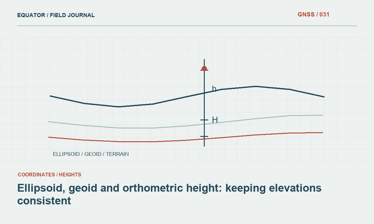
Read articleThe height computed from GNSS is not automatically the elevation required by an engineering project.
Read article