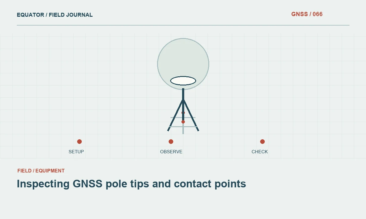
Inspecting GNSS pole tips and contact points
A worn tip changes how the rover meets the mark. Check the physical contact and height convention before treating a pole length as known.
Read article174 practical articles on satellite positioning, RTK corrections, survey procedures and reliable geospatial data.
109–120 of 174 articles
Page 10 of 15A worn tip changes how the rover meets the mark. Check the physical contact and height convention before treating a pole length as known.
Read articleInspect the pole, bubble and mounting arrangement so physical tilt does not undermine otherwise good satellite observations.
Read articleRecord the measurement geometry correctly so software can reduce the antenna observation to the survey mark.
Read articleKeep the physical mark, antenna reference point and electrical phase centre distinct when measuring and processing GNSS heights.
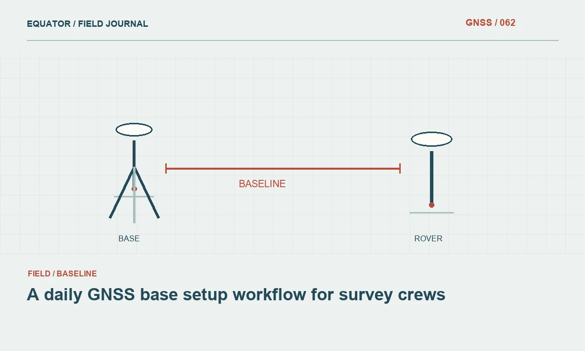
Read articleConnect mark recovery, coordinate approval, antenna measurements and rover checks into a repeatable daily routine.
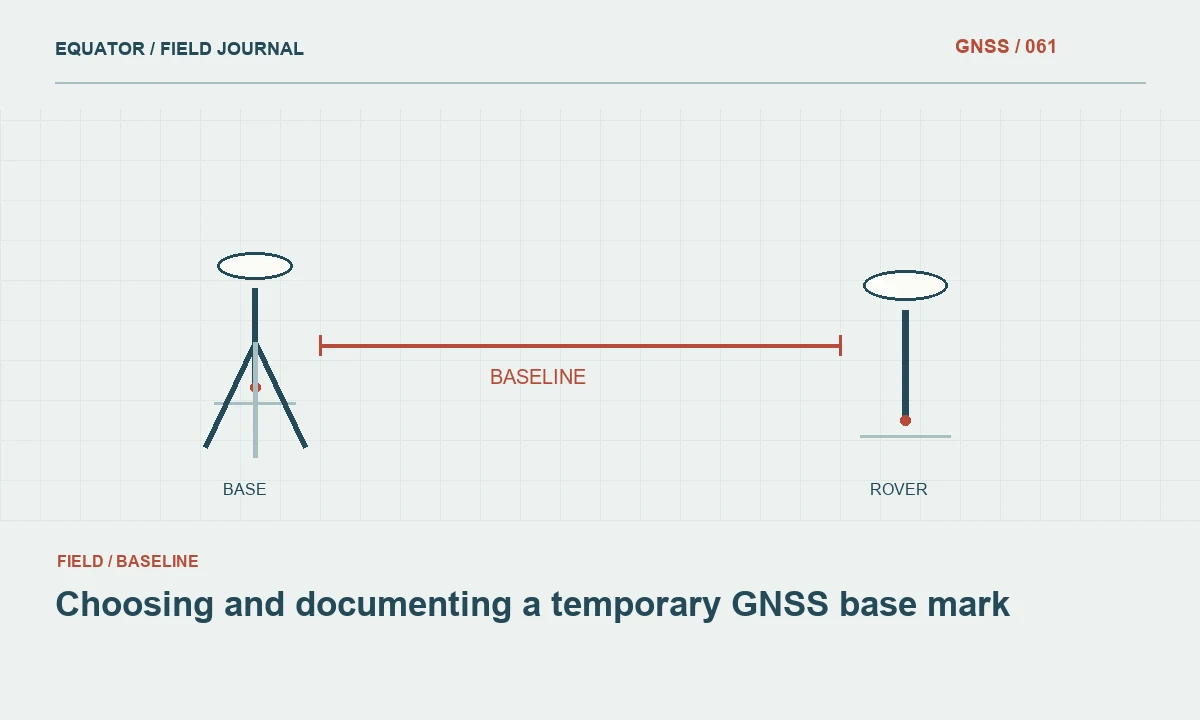
Read articleCreate a recoverable reference setup with stable support and a clear record of its coordinate and limitations.
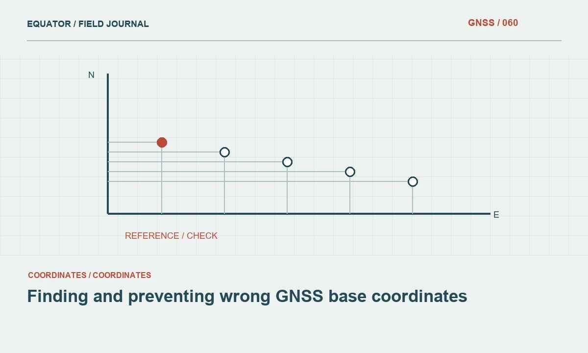
Read articleA stable RTK solution can inherit a wrong base position. Build checks that expose the resulting common offset.
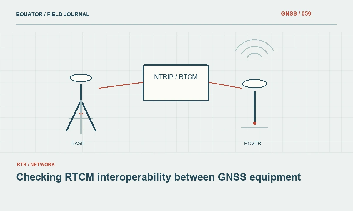
Read articleTest message content, signal support and reference information when combining a base, caster and rover from different systems.
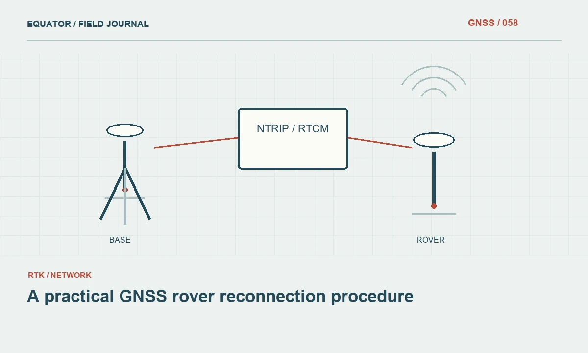
Read articleRecover from a lost correction link while preserving the settings and checks needed to trust the next measurements.
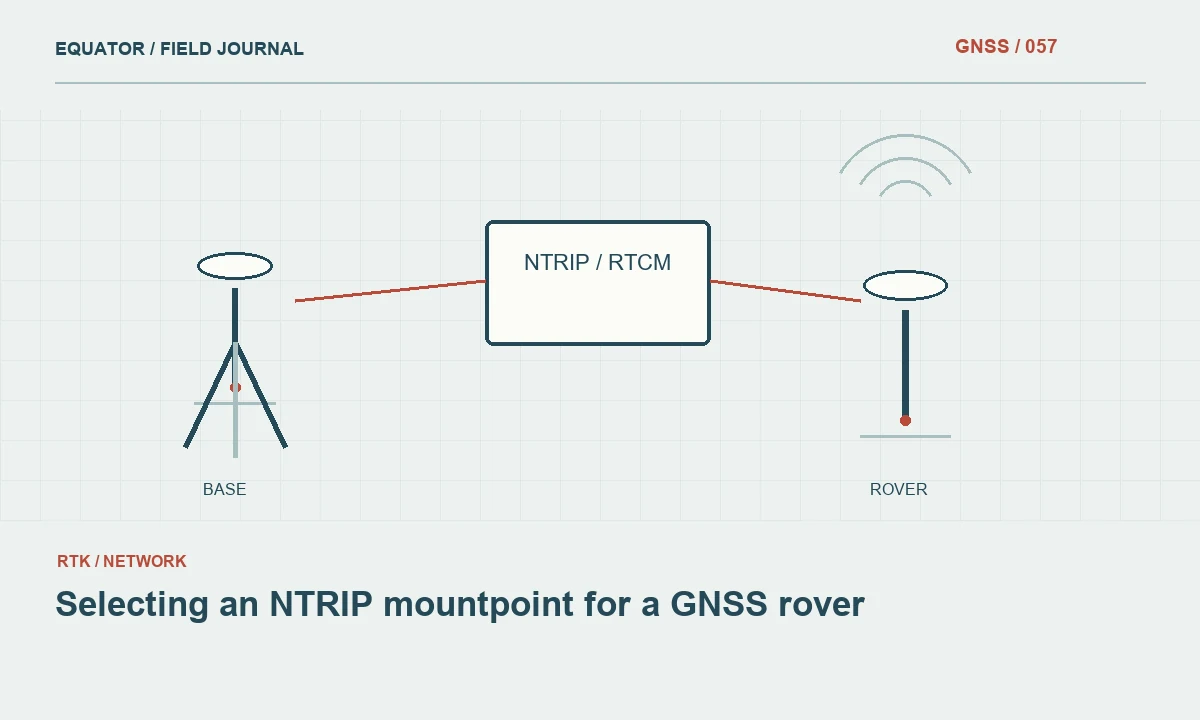
Read articleMatch the correction stream to the rover, survey area and reference requirements before saving it as a field preset.
Read articlePlan connection checks, recovery steps and alternative observations for projects with unreliable cellular coverage.
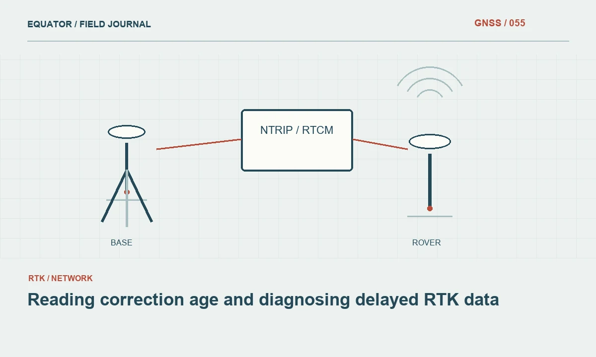
Read articleUse correction age to examine the timeliness of the data arriving at a rover and respond to delays without hiding them.
Read article