Surveying plantation blocks with a practical GNSS plan
Organize block identifiers, canopy transitions and shared boundaries so field observations become a coherent plantation dataset.
Read article174 practical articles on satellite positioning, RTK corrections, survey procedures and reliable geospatial data.
85–96 of 174 articles
Page 8 of 15Organize block identifiers, canopy transitions and shared boundaries so field observations become a coherent plantation dataset.
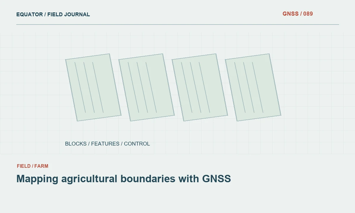
Read articleKeep measured features, project boundary interpretation and area calculations distinct when preparing useful farm maps.
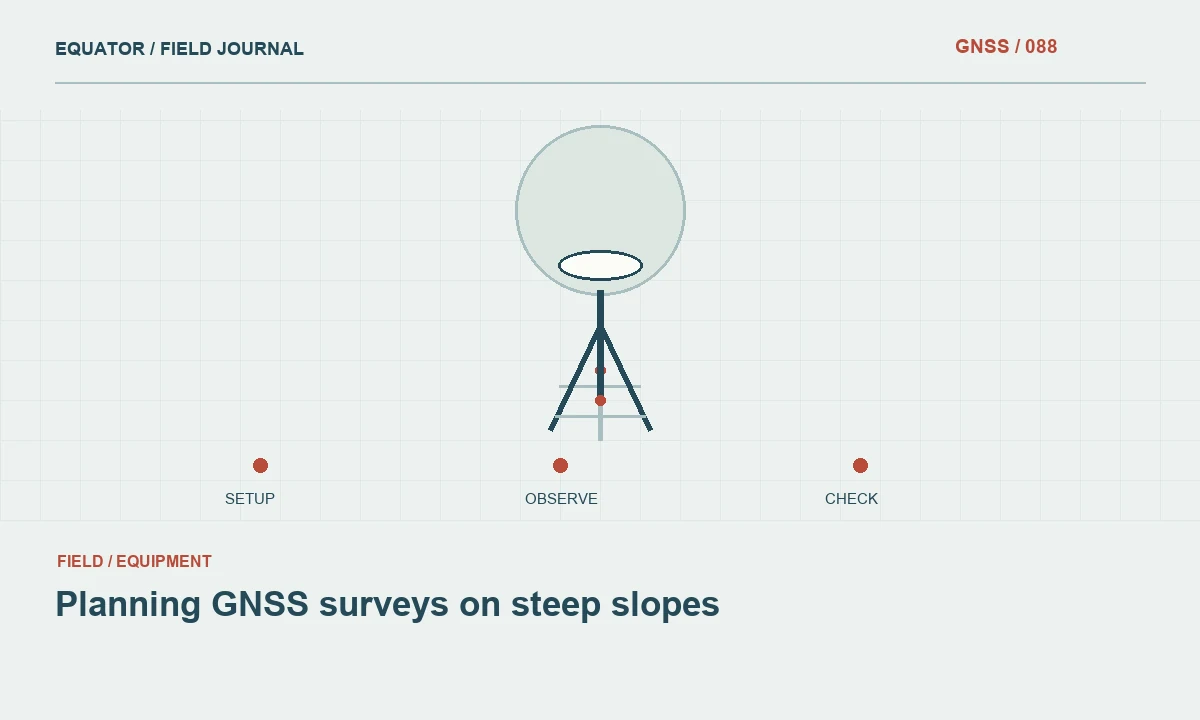
Read articleControl pole geometry, height interpretation and terrain feature selection when the ground changes rapidly across a hillside.
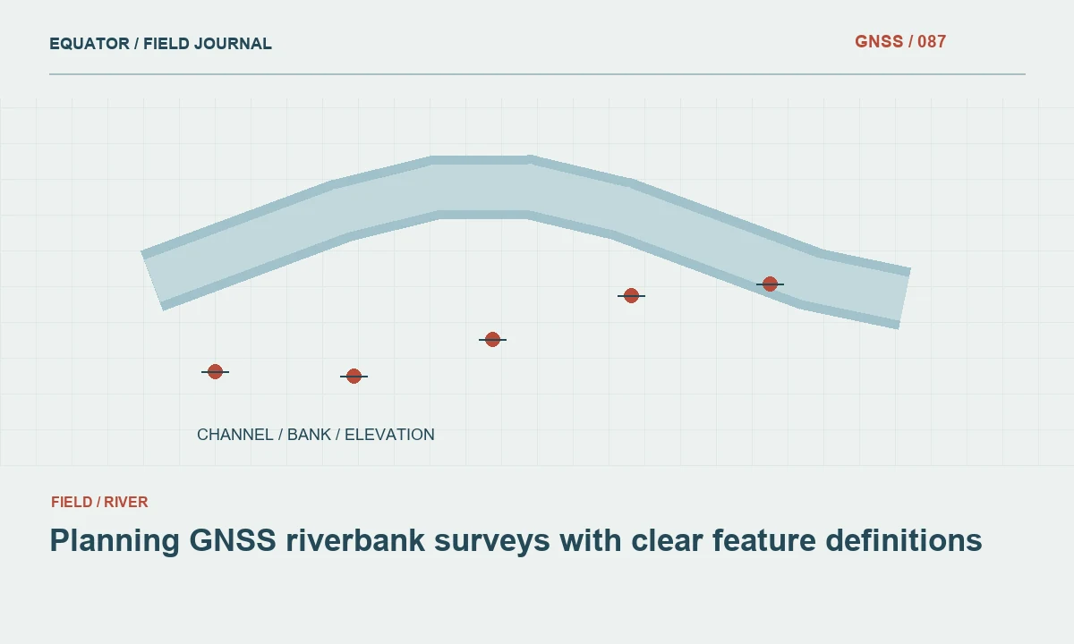
Read articleConnect bank positions, exposed terrain and water level observations to a documented reference without confusing changing water with permanent ground.
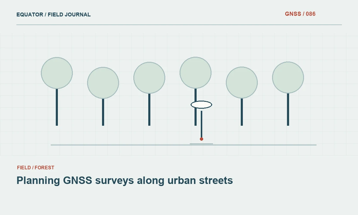
Read articleDivide the corridor by observation conditions and preserve a consistent reference as crews work between open intersections and obstructed building fronts.
Read articleRecognize reflections and obstructed geometry near buildings, then choose a checked method for the feature being surveyed.
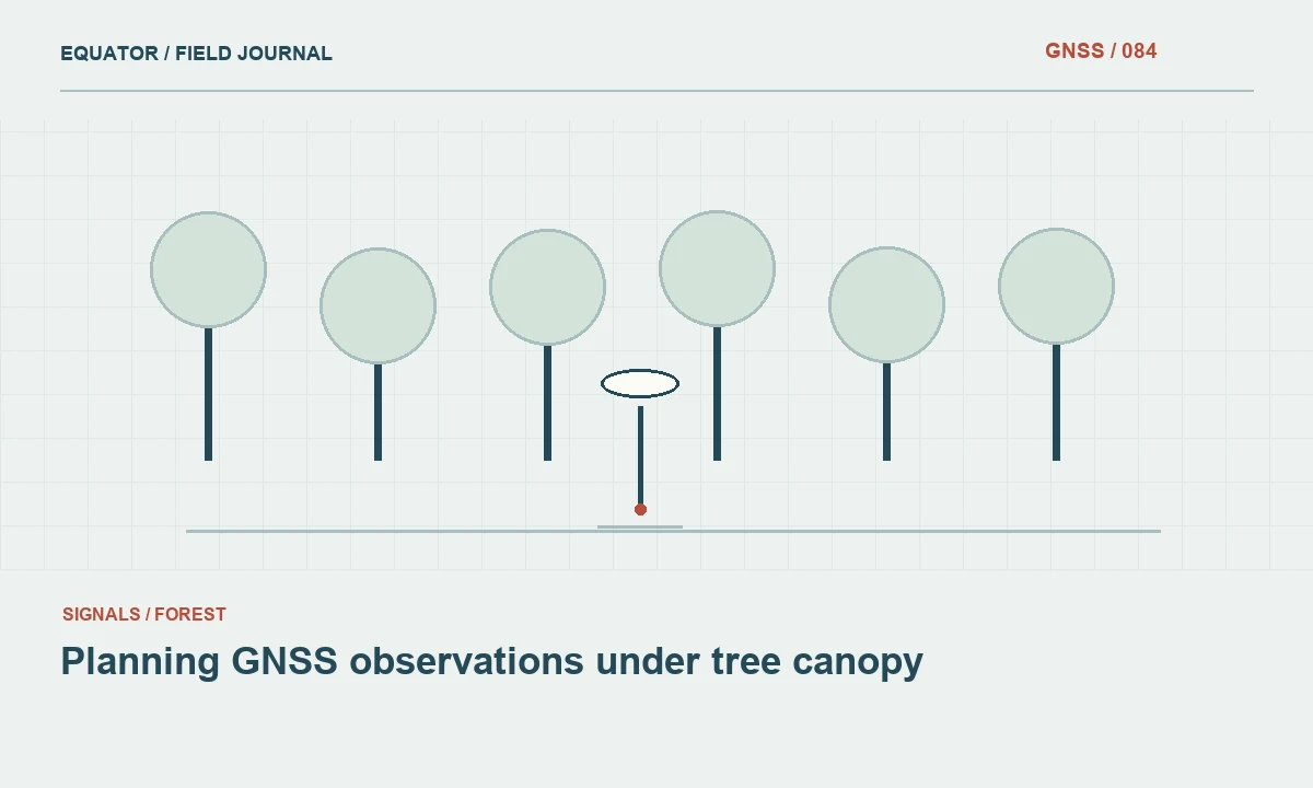
Read articleRecognize changing signal conditions beneath vegetation and use checks or alternative connections when direct observations are not defensible.
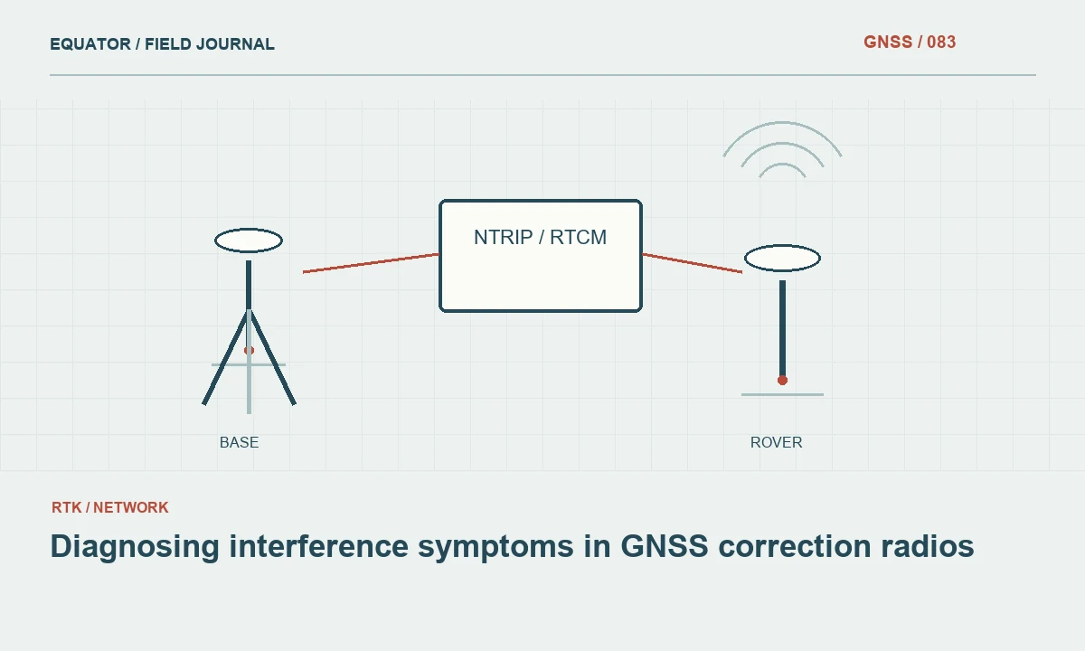
Read articleSeparate radio delivery problems from satellite observation problems and use controlled comparisons to narrow the cause.
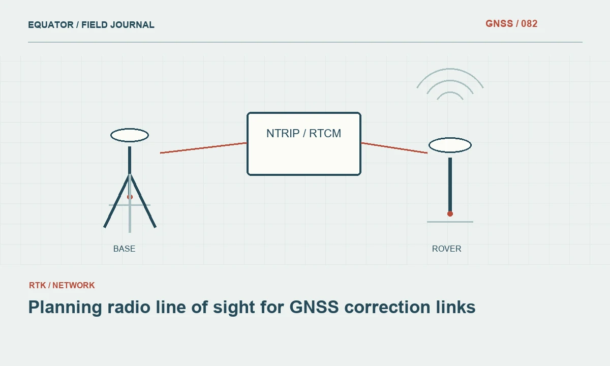
Read articleUse terrain reconnaissance and actual link tests to place correction equipment where it can support the intended work area.
Read articlePlan protection, inspection and data handling around the actual equipment ratings and the conditions of the survey.
Read articleAccount for the receiver, controller and correction device so power changes do not create undocumented gaps or setup changes.
Read articlePreserve settings and test critical survey tasks before introducing a new receiver or controller version into production.
Read article