Investigating vertical bias in GNSS-controlled photogrammetry
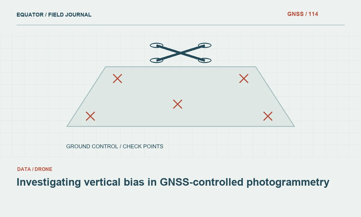
Trace systematic height differences through references, observations and model behaviour before applying an unexplained elevation offset.
Read article174 practical articles on satellite positioning, RTK corrections, survey procedures and reliable geospatial data.
61–72 of 174 articles
Page 6 of 15Trace systematic height differences through references, observations and model behaviour before applying an unexplained elevation offset.
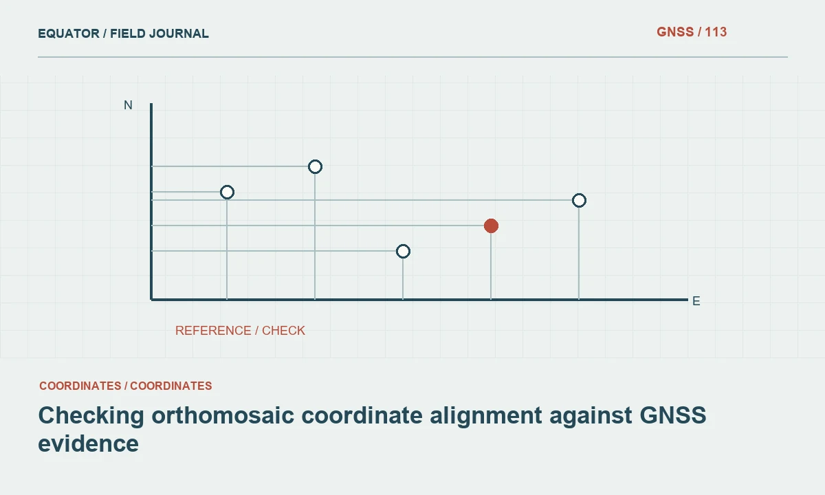
Read articleInvestigate reference definitions, point identity and spatial patterns before shifting a drone orthomosaic to fit another map.
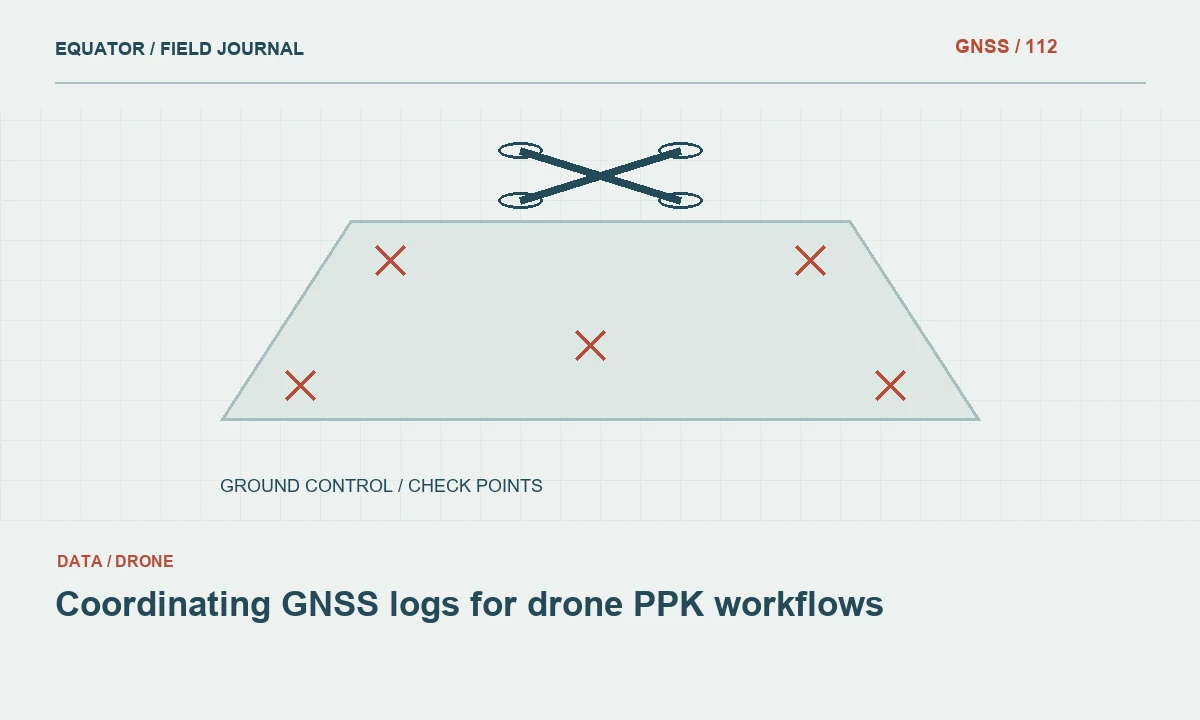
Read articleKeep base observations, rover records, exposure events and reference metadata aligned so post-processing can be checked and reproduced.
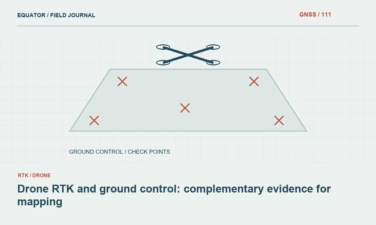
Read articleUnderstand what precise camera positioning contributes and why reference checks and independent validation remain important.
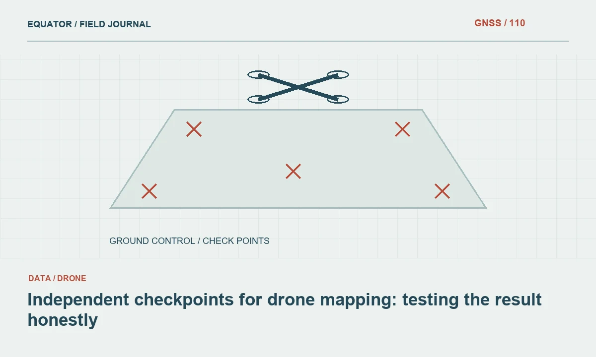
Read articleReserve distributed survey observations to assess drone products without using the same points to calibrate the model being tested.
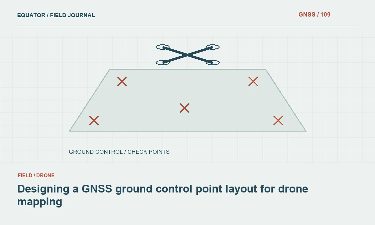
Read articleDistribute ground control around the project geometry and terrain, then reserve separate observations to test the finished photogrammetric result.
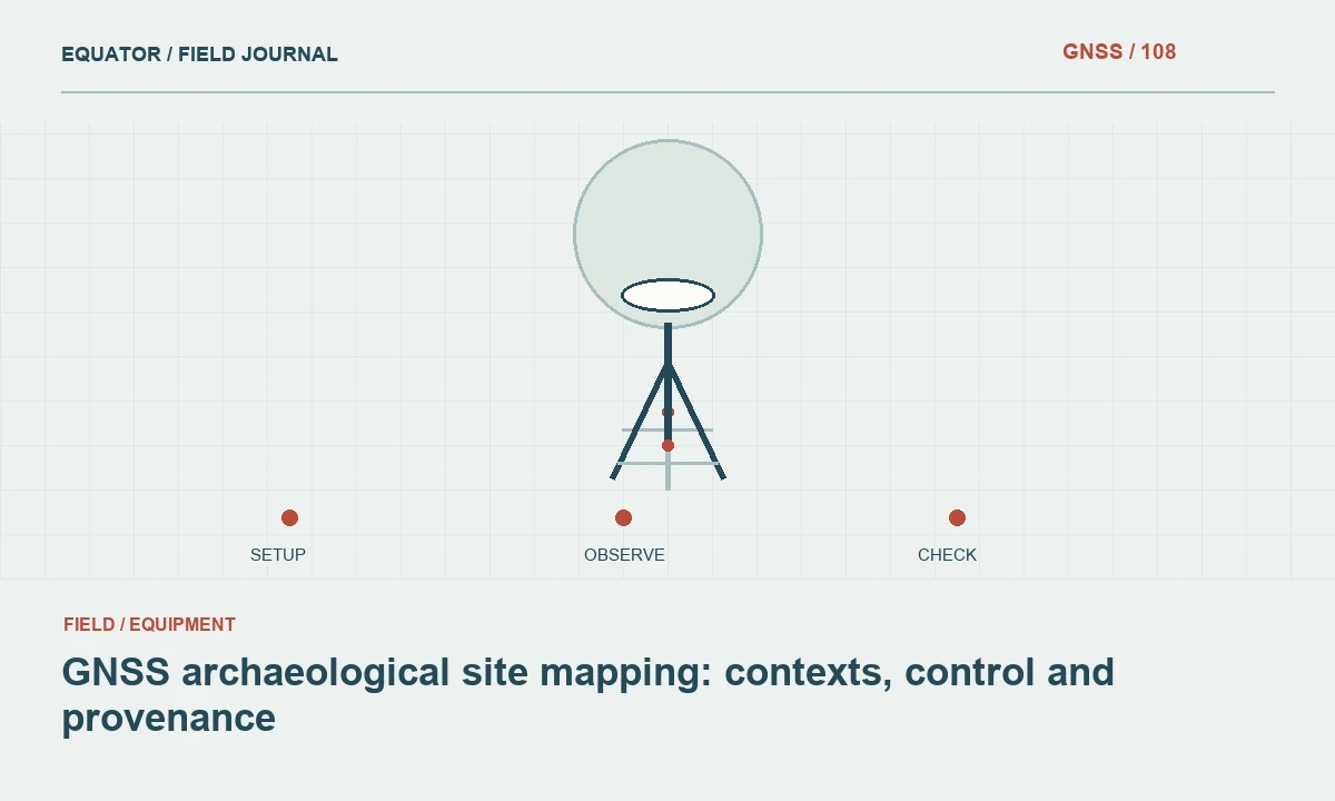
Read articleConnect archaeological observations to a stable spatial reference while preserving context identifiers and the distinction between measured and interpreted features.
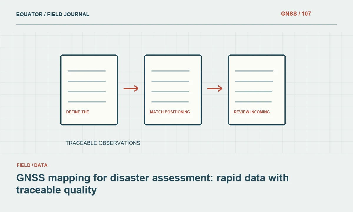
Read articleOrganise rapid field observations so positions, timestamps, damage descriptions and evidence remain understandable after the immediate response.
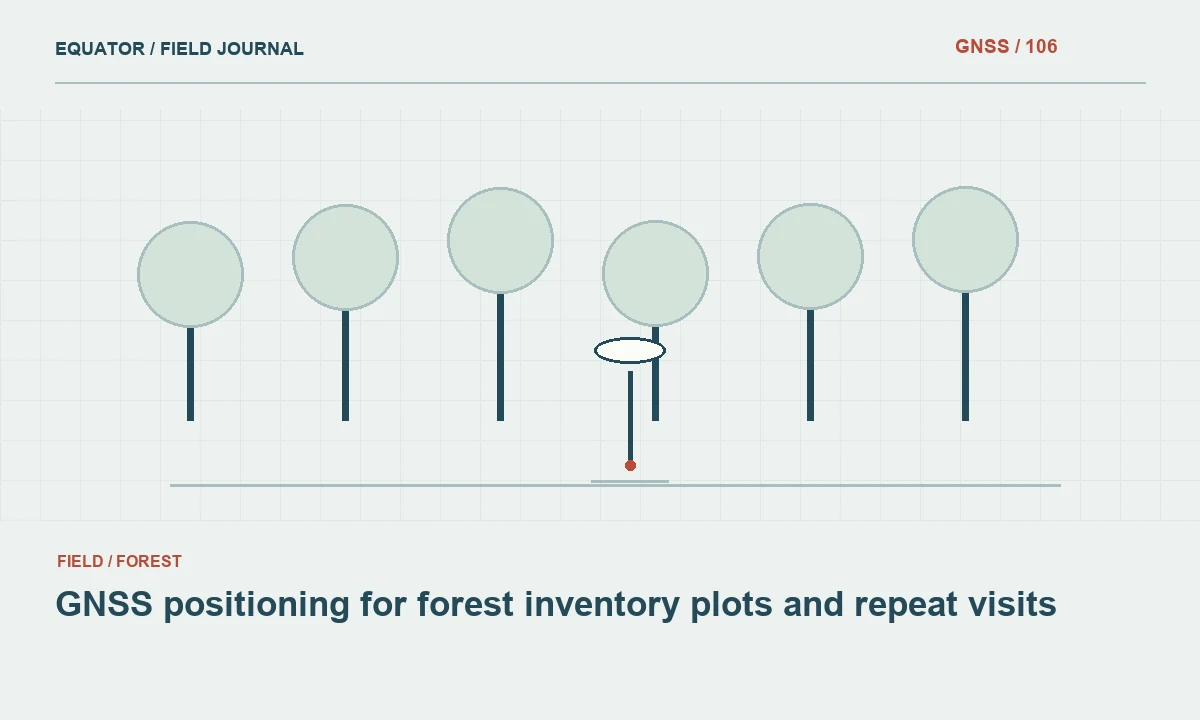
Read articleDesign a forest positioning workflow that connects plot identifiers, canopy conditions, method choices and recoverable field evidence.
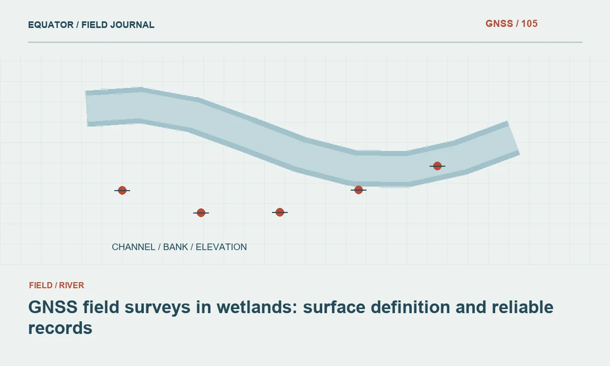
Read articlePlan wetland observations around access, changing water conditions, vegetation and a clearly documented coordinate and height reference.
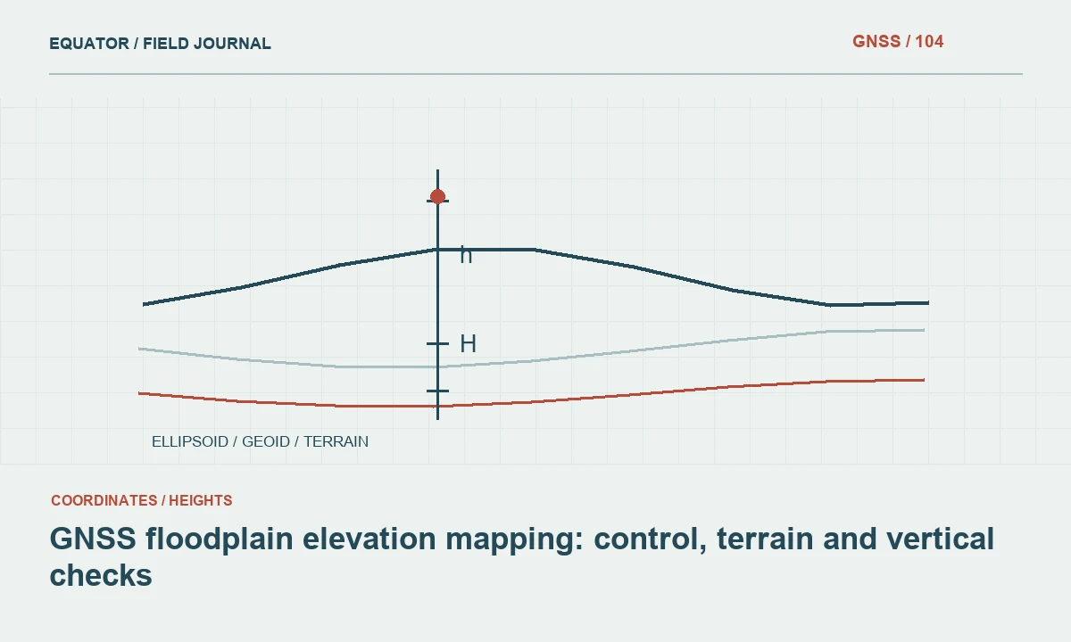
Read articleDesign elevation observations that represent the ground and connect consistently to the vertical reference required by floodplain analysis.
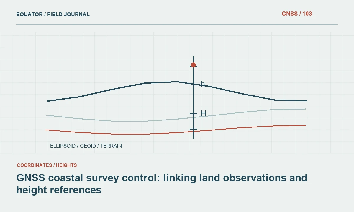
Read articlePlan stable coastal control while distinguishing ellipsoidal heights, land elevation datums, tide references and changing shorelines.
Read article